
This post may contain affiliate links. When you purchase something through these links, I receive a small commission that helps me create this blog’s content. There’s no extra cost to you. Read my privacy policy to learn more.
Published: 5/2/2026
Everything You Need To Plan Your Thames Path Walk
If you’ve ever visited London, England, chances are you’ve already spent a bit of time on the Thames Path National Trail possibly without even realizing it.
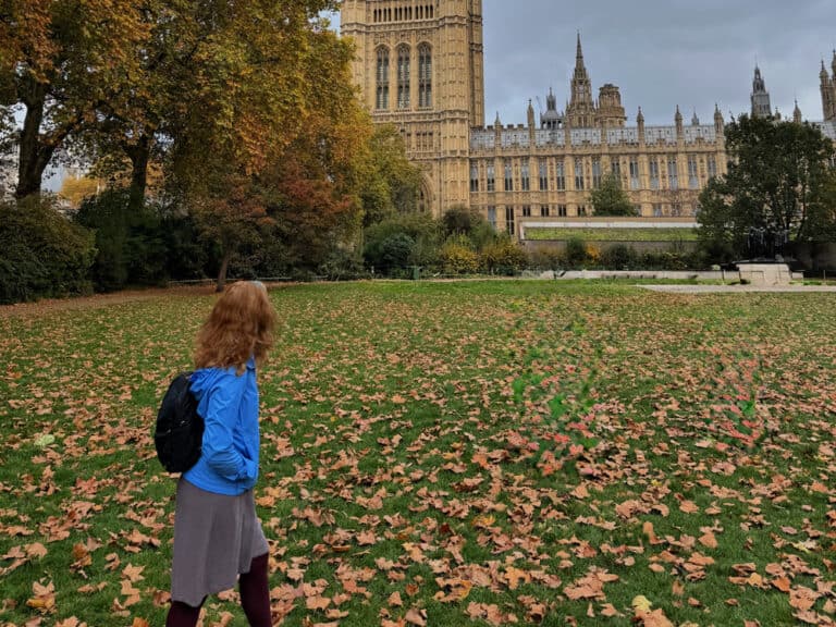
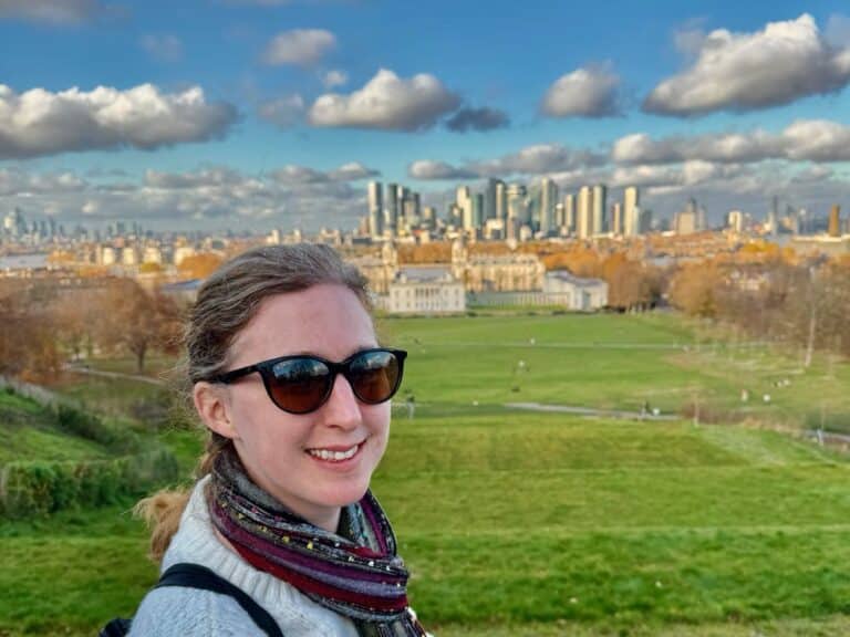
This 184-mile National Trail runs the length of the Thames River from its source in the Cotswolds, around Oxford and Windsor, past the House of Parliament and the Tower of London in the heart of the English capital, all the way to Woolwich just east of Greenwich.
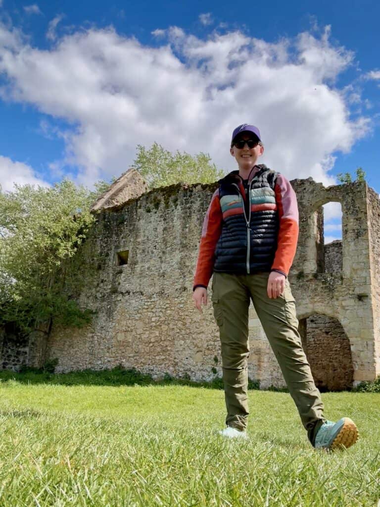
When I lived in London, I spent many hours walking on the Thames Path, both in central London and on a particularly lovely section that runs between Hammersmith and Chiswick. I always planned to hike the path in its entirety and in April 2026, I finally got started on this dream.
Because of the trail’s impressive length, it’s common to divide the walk into stages. I opted to divide the trail in half and hiked 93 miles downstream from the source to Reading in seven days. When I return for the second half, I’ll hike 91 miles from Reading to Woolwich.
I’m sharing my entire day by day experience walking the first half of the Thames Path, along with my best tips, points of interest, and everything else you need to consider when planning your own Thames Path walk
Let’s jump right into what the Thames Path is all about and why you might want to experience this easy – albeit lengthy – stroll along one of the most beautiful and influential rivers in human history.
In London and want to experience the Thames Path, but not hike it all? I feature my favorite central London section (Southwark) in my 3-Day London Itinerary. The path is truly one of my favorite free things to do in London and I encourage you to check out the path beyond central London.
About the Thames Path
What is the Thames Path?
The Thames Path is one of 20 National Trails in Great Britain. It starts near Kemble in the Cotswolds and runs for 184 miles before ending in Woolwich in East London.
The trail officially opened in 1996 and primarily repurposes the river’s old tow path, which was used for transporting goods in barges. Since the first 23 miles of the Thames River aren’t navigable by boat and had no preexisting trail, the path is somewhat cobbled together here using any available public land, often parks and fields.
What makes the Thames Path special?
The Thames Path is a charming English countryside ramble that takes you along the banks of one of the most iconic rivers in the world. You’ll pass through towns that date back to Roman and Anglo/Saxon times, see Iron Age forts and many of William the Conqueror’s castles, as well as have the chance to visit royal residences.
In many spots, you’ll literally walk into a picture book. E.H. Shepard’s illustrations for The Wind in the Willows were inspired by scenes around Pangbourne, while Godstow Abbey and the Trout Inn outside of Oxford feature prominently in Philip Pullman’s Book of Dust trilogy.
In addition to the rich human history, you’ll also have excellent wildflower and wildlife viewing, especially for waterfowl.
There’s also no one right way to explore the Thames Path. You could tackle the trail as one big through-hike, but many through hikers like myself divide the trail into 2-4 sections. The trail is well suited for day hikes, especially around urban centers like Oxford and London.
Why chose the Thames Path of all of Great Britain’s National Trails?
Perhaps the biggest reason to choose the Thames Path is that it’s both easy and convenient. If you’re flying in for the hike, you can reach the Thames’ source outside Kemble in less than two hours from Heathrow Airport whether you choose to drive or take trains.
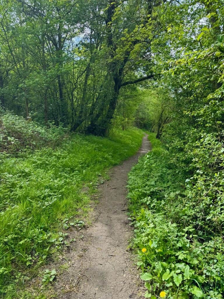
Since the Thames source is located just 361 feet above sea level, this is an extremely level hike that rarely raises your heart rate. Despite its proximity to one of the most famous cities in the world, the path often feels remote and pastoral. However, you’re only ever five miles from a station, making it an excellent, low-stakes introduction to long distance walking.
Walking the Thames Path National Trail in Stages
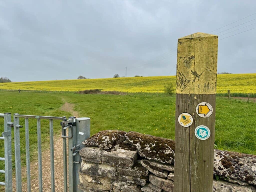
How I divided my mileage
The Thames Path isn’t a challenging hike (it’s almost completely level) but it is long! You will need to think carefully about how many miles you want to walk each day and how long it will take you to complete the trail at that pace. It takes most walkers 14-21 days to complete the 184-mile trail, although I did meet one experienced hiker who planned to do the path in 11 days.
As a seasonal business owner, I simply can’t be away from my business for the time it would take me to walk the entire path in one go. Instead, I cut the path in half in two, seven-day sections. This works out to an average of about 13 miles per day, which is slightly higher than I wanted, especially since lodging isn’t located at the exact 13 mile mark each day.
Remember, you need to walk off the path to and from your lodging each day. This can increase your mileage by up to a mile each day.
Another important consideration are any points of interest you might want to check out along the trail. If I had unlimited time, I would have added a rest/sightseeing day in Oxford. My feet would have appreciated this very much!
My Exact Thames Path First Half Itinerary |
My Ideal Thames Path First Half Itinerary |
|
Day 0: Thames Head Inn to Source (1 mile) Day 1: Thames Head Inn to Cricklade (11.7 miles) Day 2: Cricklade to Kelmscott (14.4 miles) Day 3: Kelmscott to Newbridge (12.7 miles) Day 4: Newbridge to Oxford (13.5 miles) Day 5: Oxford to Abingdon (9.6 miles) Day 6: Abingdon to North Stoke (15.4 miles) Day 7: North Stoke to Reading (15.7 miles) |
Day 1: Thames Head Inn to Cricklade Day 2: Cricklade to Lechlade Day 3: Lechlade to Tadpole Bridge (with a visit to William Morris’s estate in Kelmscott) Day 4: Tadpole Bridge to Bablock Hythe Day 5: Bablock Hythe to Oxford Day 6: Rest day in Oxford Day 7: Oxford to Abingdon Day 8: Abingdon to Wallingford Day 9: Wallingford to Pangbourne Day 10: Pangbourne to Reading This works out to approximately 10 daily miles |
Day by Day Summary of My Thames Path Walk: Source to Reading
Day 0: Arrive Thames Head Inn
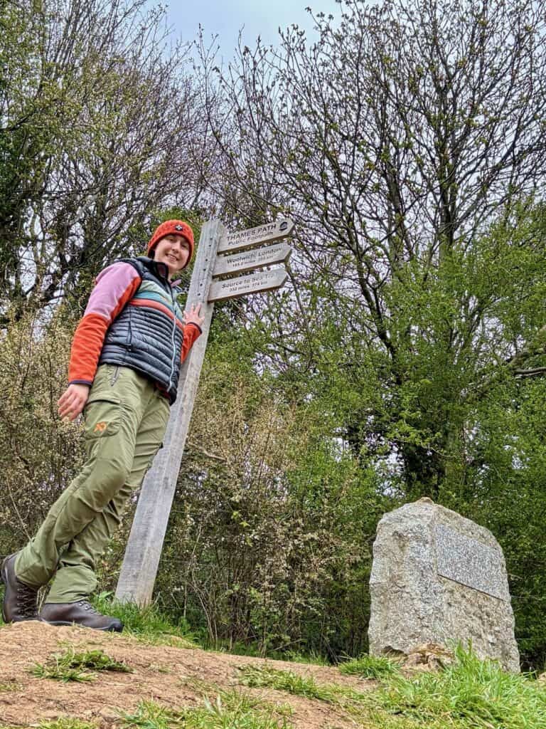
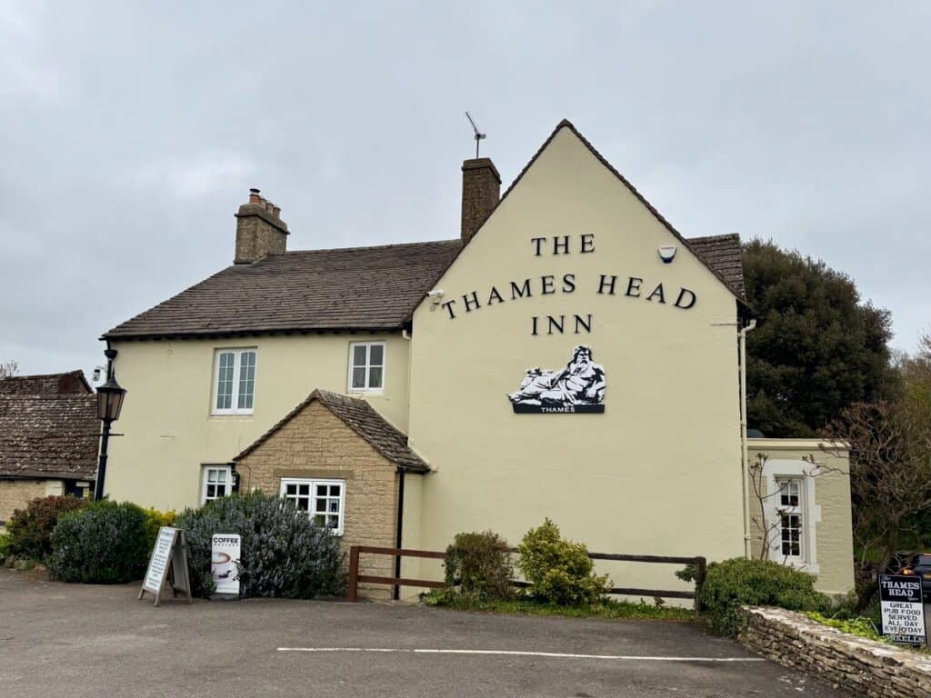
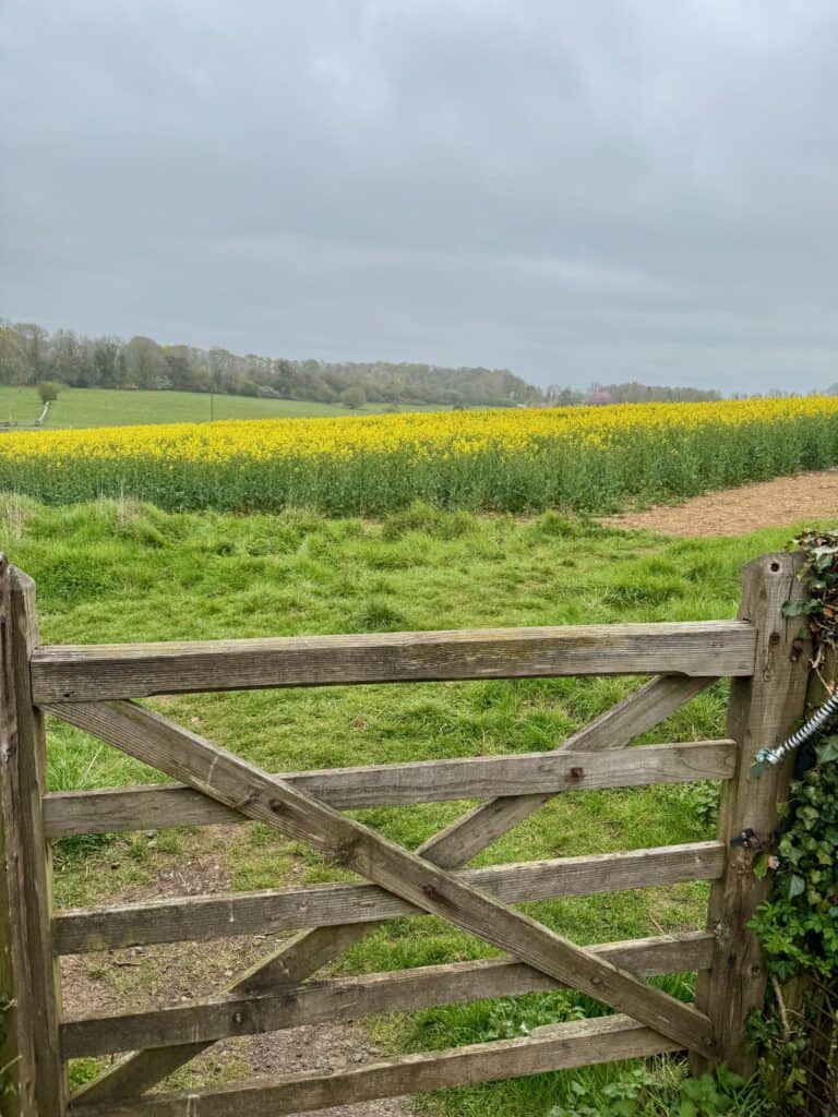
- Path mileage: .5
- Actual mileage: 2.26
The Thames Head Inn, where many Thames Path hikers spend the night before they start the hike, is located about .7 miles off the trail. When you reach the trail, you need to head north for .5 miles to reach the actual source of the Thames River.
To save you a mile of hiking on the first full day of walking, it’s recommended that you visit the source on the day you check in. The source is located besides a copse of trees and wildflowers on the edge of farm fields. Unless it’s rained a lot recently, you won’t actually see any water here; I didn’t! (This is probably thanks to a failed 18th century canal between the Thames and Severn Rivers.)
I also hiked down to see where the trail crosses the road that runs pass the Inn to get myself oriented to the path and its signage.
One note: It took me a minute to figure out how to access the path from the Inn. The road in front of the inn is very busy and I didn’t want to poke around on the shoulders looking for the entrance. However, you can access the path via fields right from the Inn’s property. You’ll see the path take off at the outdoor picnic area in parking lot’s far corner.
Highlights: Walking through a field of canola/rapeseed plants. I didn’t realize these were brassica plants!
- Stay: Thames Head Inn
- Dinner: Thames Head Inn
Day 1: Thames Head Inn to Cricklade
- Path mileage: 11.7
- Actual mileage: 13.77
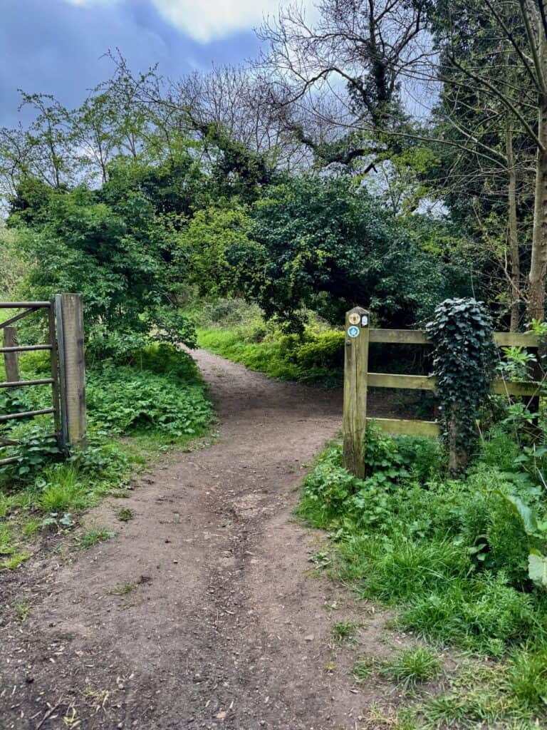
Today’s hike is hodgepodge of walking through fields, villages, and woods. The upper Thames Path before Lechlade is pretty piecemeal because there wasn’t a preexisting tow trail for the National Trail to utilize. About half of today’s walk is on a public bridleway.
You spend several miles chasing the Thames around the Cotswolds Lakes, which are nearly 200 very small (and often rectangular) lakes created by rehabbing old gravel pits. It’s a very peaceful, idyllic walk, especially between the hamlets of Ewen and Ashton Keynes.
The path can be mucky in parts, but there were only a couple large puddles towards the end of the day’s walk near the Elmlea Meadows. I found the most confusing portions of the trail were where the path runs through parks with their own path systems.
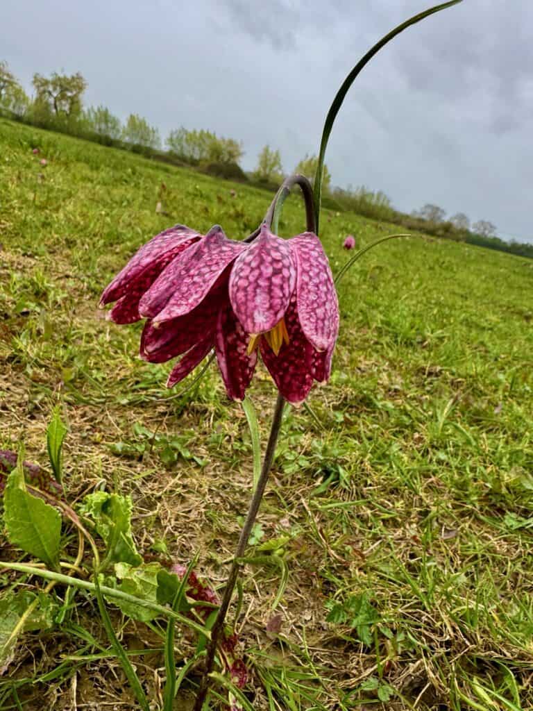
Highlights: Running into a mom teaching her son how to play Pooh sticks on a bridge near Neigh Bridge Car Park. If it hadn’t been driving rain, the amazing field of snakehead fritillaries in North Cricklade Meadow would be remembered even more fondly.
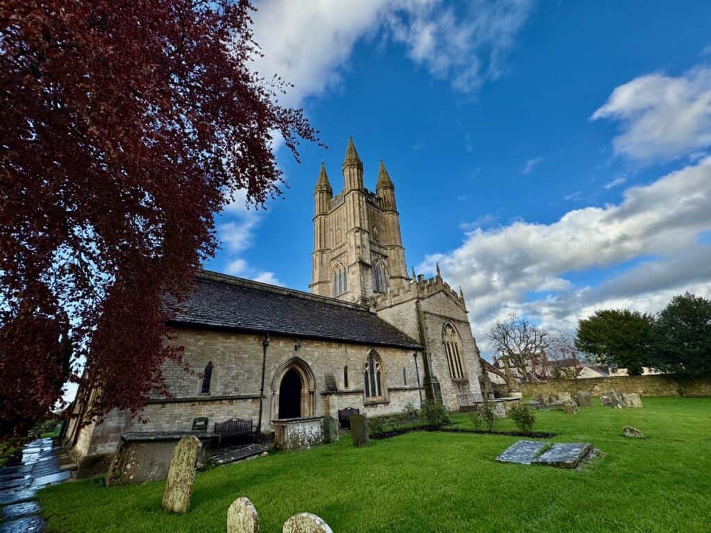
I also loved St. Sampson’s Church in Cricklade which has a single flying buttress to hold up its tower. Apparently the church was supposed to get a 100 ft spire, but the tower started to lean almost immediately, so it instead got a single buttress.
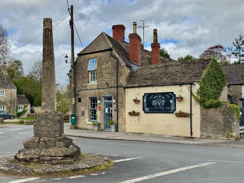
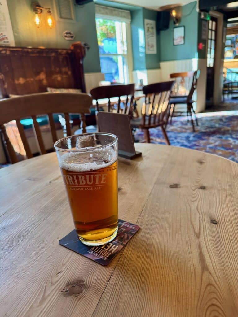
Side quests: I spent my “lunch hour” in Ashton Keynes where I stocked up on essential groceries (hello Hobnobs and crisps!) at the village shop, then grabbed lunch at the White Hart and got my Walk the Thames passport stamped. I also grabbed at pint at the Red Lion in Cricklade and got another passport stamp.
- Lunch: White Hart Inn, Ashton Keynes
- Stay: White Hart Inn, Cricklade
- Dinner: Jicsaw Thai
Day 2: Cricklade to Kelmscott
- Path mileage: 14.4
- Actual mileage: 15.56
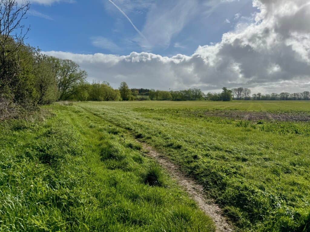
After yesterday, where I was mostly hiking through municipal recreation areas, today’s hike was me, myself, and a bunch of farm fields. Since the majority of today’s hike follows the part of the Thames that’s not navigable (aka, there’s no tow path to follow), the path is still a little higglety pigglety.
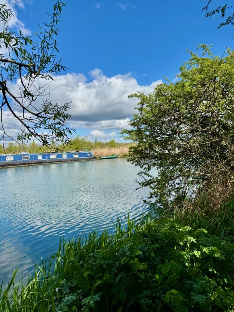
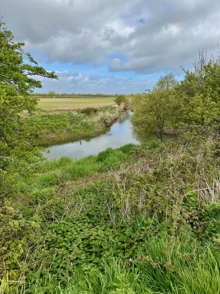
Because there aren’t any boats on the river yet, waterfowl get the run of the Thames in this section. I saw swans, Canadian geese, cormorants, egrets, grey herons, mallards, and graylag geese. After I crossed the Hannington Bridge, I started to encounter more livestock and there’s a decided character shift to the river when you start seeing house boats just west of Lechlade.
Once you pass through Lechlade and St. John’s Lock, the river becomes very windy, but the path is now the old tow path, so it follows the north bank of the river very closely. As my guidebook quipped “you get the sense that the Thames seems to know that it is now navigable and begins to indulge in some rather intense meandering.”
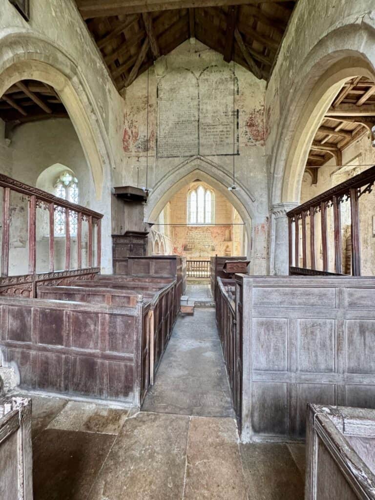
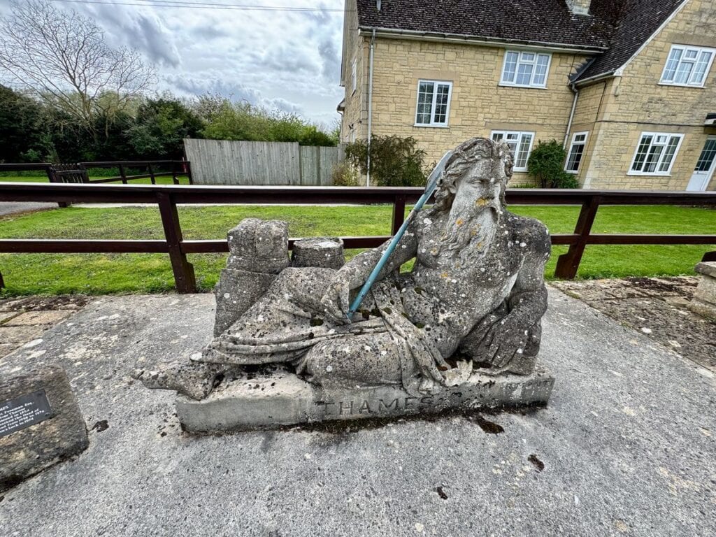
Highlights: The churchyard at St. Mary’s in Castle Eaton was a lovely spot for midmorning snack. The 13th century Church of St. John the Baptist in tiny Ingleham was unexpectedly ancient and beautiful. I also really liked passing by the first set of locks in the river – St. John’s Locks – and the statue of Old Father Thames that sits outside of the lockkeeper’s house.
I ended up in the midst of a “cow rescue” just outside of Lechlade where someone had called 999 because a cow was stuck in the river between a houseboat and the river bank. FYI: cows apparently “swim like hippos” so all that really needed to happen was to unmoor an end of the boat so the cow could swim freely and climb ashore.
Side quests: Because there wasn’t a good spot from a timing standpoint for lunch today, I bought a meal deal (sandwich, snack, and drink) at Tesco in Cricklade before starting the day’s trek. I also got a flat white for “the trail” and a passport stamp from Barista. I tried to get a couple passport stamps from a couple closed stations – Red Lion in Castle Eaton and The Cotswolds Christmas Shop in Lechlade – although only the side quest to the Christmas Shop added mileage.
- Lunch: Tesco meal deal (purchased in Cricklade)
- Stay: Plough Inn
- Dinner: Plough Inn
Day Three: Kelmscott to Newbridge
- Path Mileage: 12.7
- Actual mileage: 12.87 (I saved some steps by taking the straight paths across fields on some of the rivers many zigs and zags.)
This is the most isolated section of the Thames and if it weren’t for the bridges and their corresponding pubs, as well as several locks, it would almost feel like a wilderness walk. Even the many fields I passed through were devoid of livestock and crops! There are many wooded portions, especially around Chimney Meadow Nature Preserve that are definitely giving strong Redwall and The Wind in the Willows vibes.
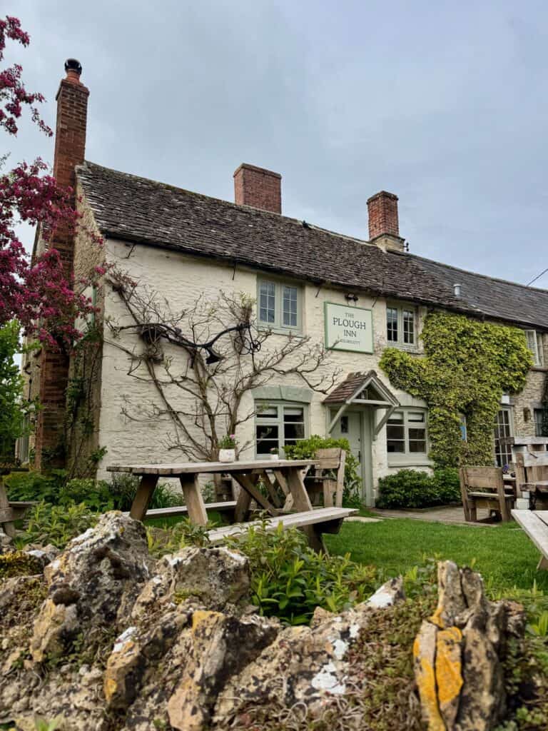
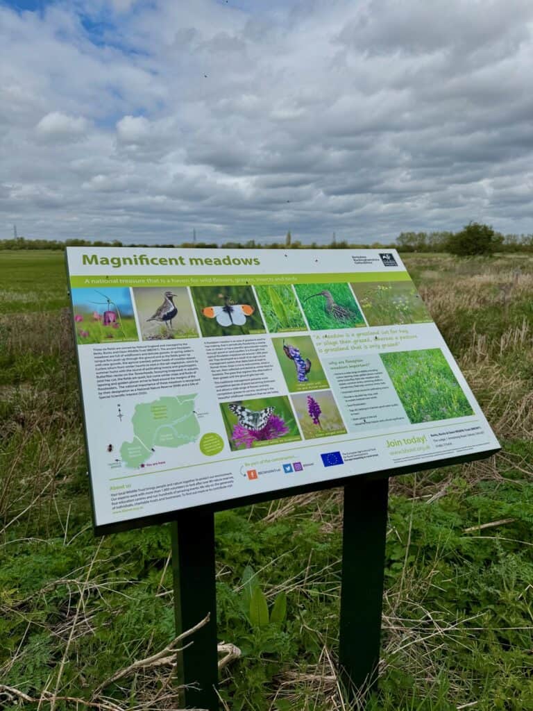
Highlights: I learned that the concrete little bunkers you see all along the Thames between St. John’s Locks and Pangbourne are called pillboxes and were constructed as a network of World War II defenses.
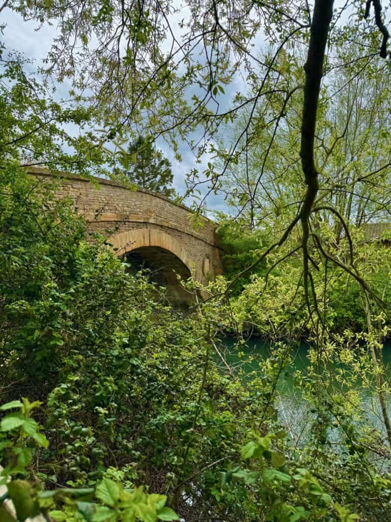
I also enjoyed passing by Radcot, the oldest standing bridge on the Thames. It dates back to about 1200 and likely replaced a Saxon bridge from the 900s. It’s crazy to me that this bridge was probably standing, or being planned, when the Magna Carta was being signed!
Side quests: There’s not much going on along this section of the river! I did cross the Tadpole Bridge at about the halfway point of the day’s journey to have a lovely meal at the Trout. I could have headed into the Chimney Meadows Nature Preserve, but I was pleased with the amount of wildlife I was observing, so I didn’t veer off the trail, but briefly popped into the nature preserve’s wildlife overlook shelter right from the path.
- Lunch: The Trout at Tadpole Bridge
- Stay: The Rose Revived Inn
- Dinner: The Rose Revived Inn
Day Four: Newbridge to Oxford
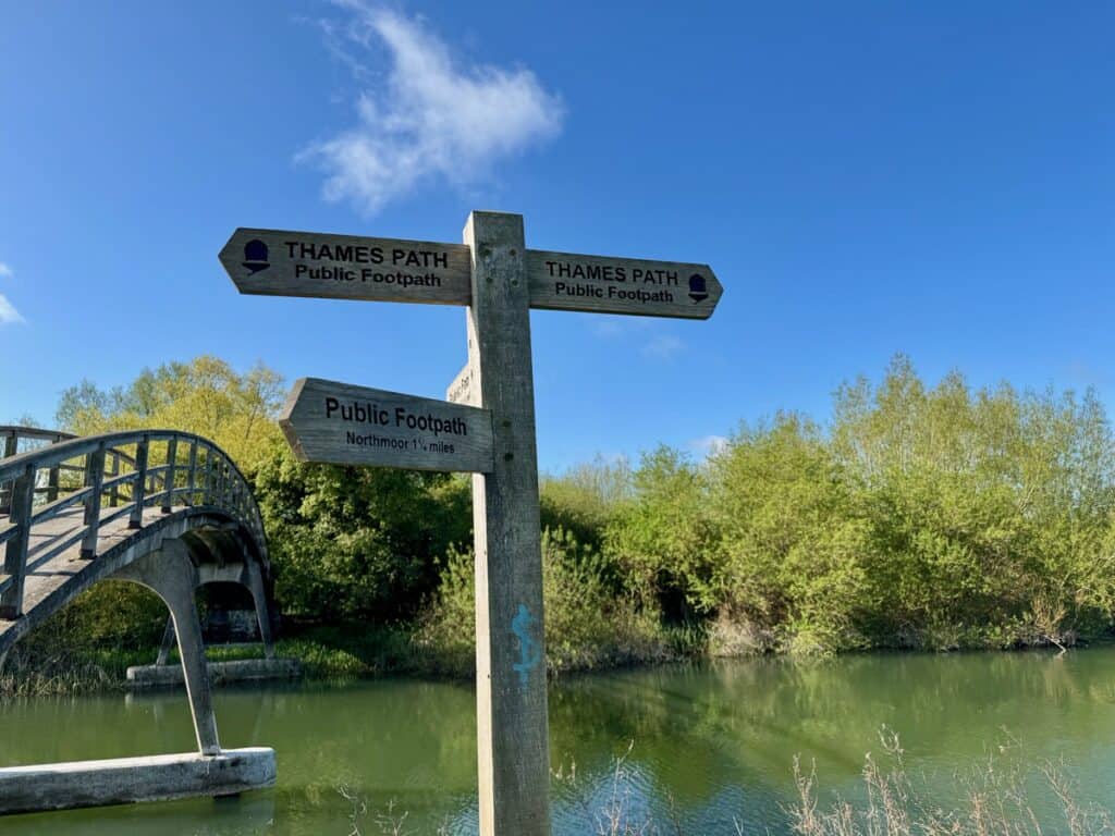
- Path Mileage: 13.5
- Actual mileage: 18.9
This was probably the section of this hike that I’d been daydreaming about the most and it didn’t disappoint. Because I wanted to get to Oxford with some time left to explore before attractions closed, I was pretty focused on getting the hike done as quickly as possible.
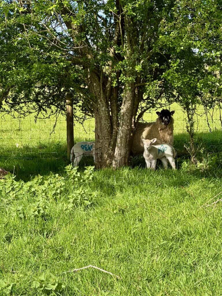
Still, this is a very pretty, mostly pastoral section of the path that’s worth taking your time with, especially if you’re planning a rest/tourist day or two in Oxford. You do skirt away from the river for a minute to walk through pastures with grazing cows and sheep. For one very brief section you walk along a very busy highway before rejoining the path via a boat repair yard.
Highlights: Chatting with a couple fellow walkers at breakfast and taking a break with one of them at Eynsham Locks. I also really liked walking past Wytham Woods, which features prominently in the Inspector Morse stories. Port Meadow is another true Thames highlight. This field has never been plowed and cows have had the right to graze and drink freely from this section of the river for at least 11 centuries!
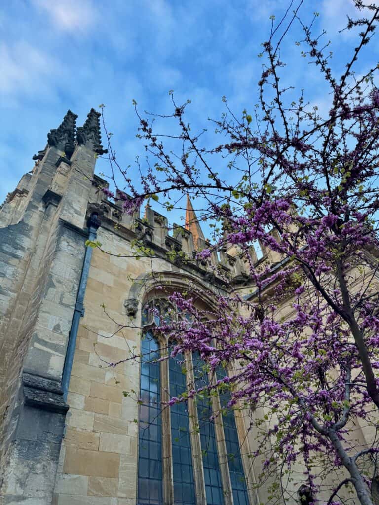
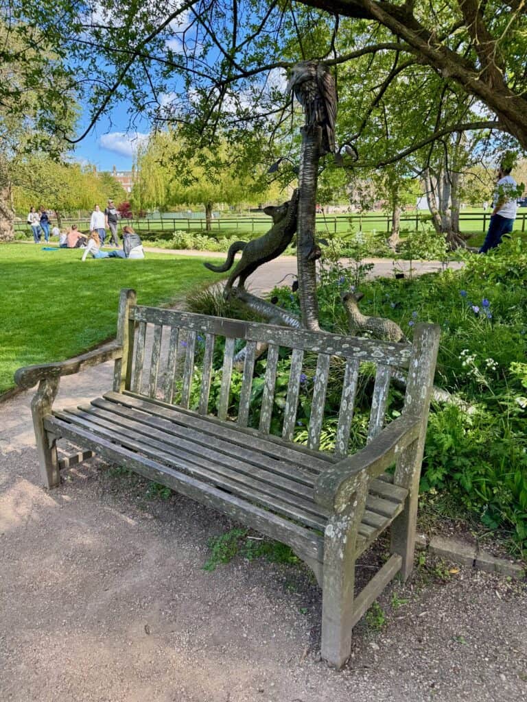

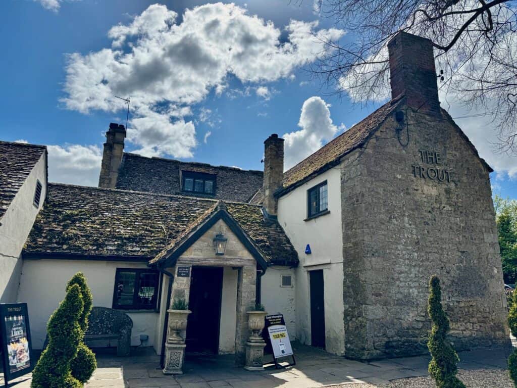
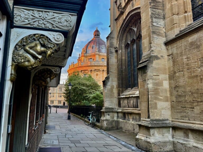
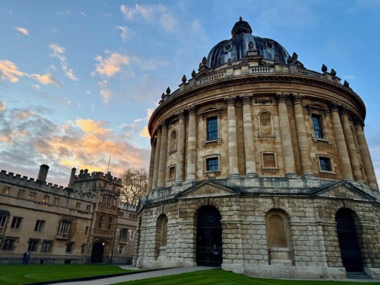
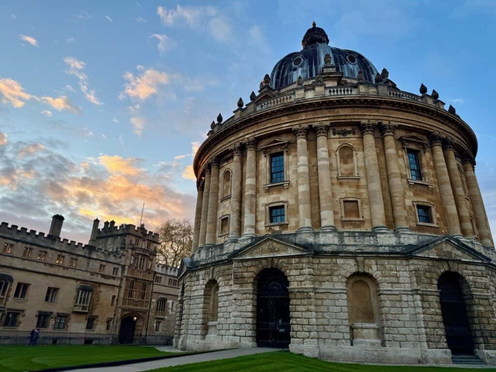
Side quests: As a longtime lover of Philip Pullman’s His Dark Materials and Book of Dust trilogies, I had to grab lunch at the Trout Inn and wander through the ruins of Godstow Abbey. Once I reached Oxford, I made a beeline to the Botanic Gardens to visit Lyra’s Bench (and also enjoy the gardens.) After dinner, I had a beautiful wander around the Church of St. Mary’s and the Radcliffe Camera. I also located the “Narnia lamppost.”
- Lunch: The Trout at Godstow Bridge
- Stay: Bath Place Hotel
- Dinner: Dishoom Permit Room (yes, this is the same as the one in Notting Hill!)
Day Five: Oxford to Abingdon
- Path Mileage: 9.6
- Actual mileage: 9.36 (I didn’t hike the section between Osney and Folly Bridges.)
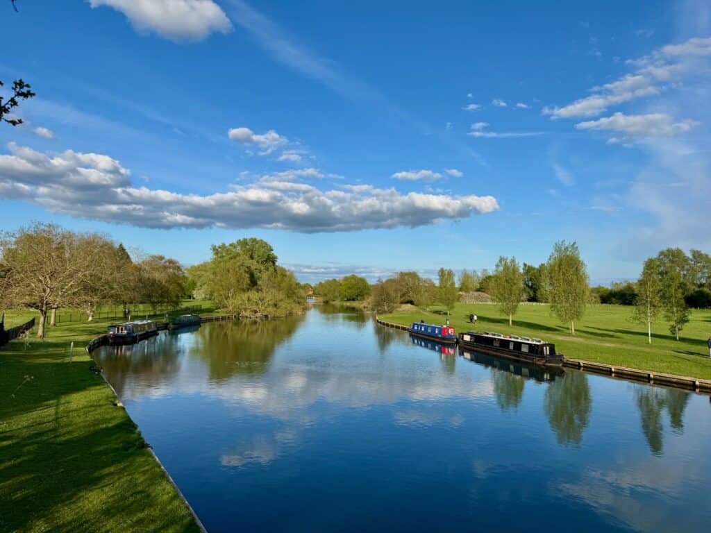
This is one of the shortest sections of a typical Thames Path itinerary. It’s very wooded and was extremely popular with day hikers on the sunny Sunday I hiked on. Over the last couple days, I’d grown accustomed to fairly frequent stone bridges across the river, but this section of the river only has two locks and no bridges. The path is paved for about two miles outside of Oxford, which is great for day walkers, but a little tough on my sore feet!
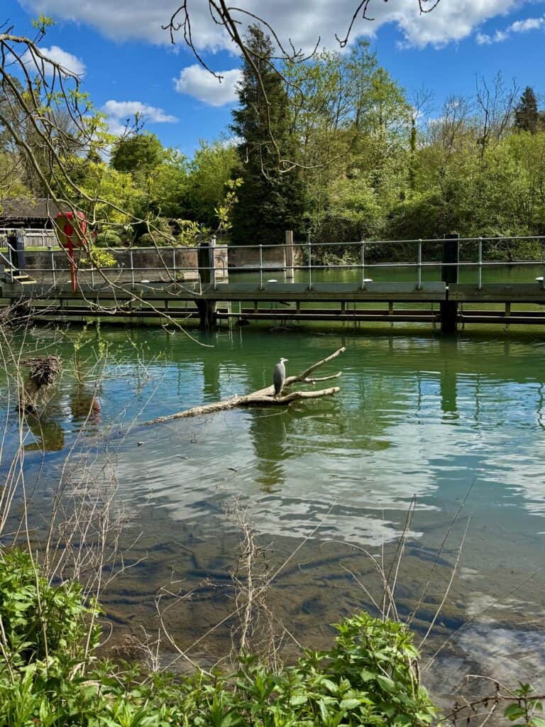
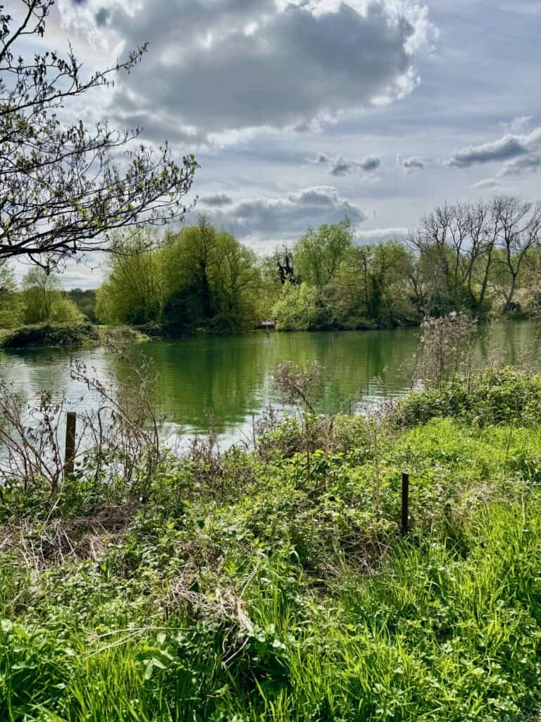
Highlights: While there aren’t many points of interest along this section (rather you’re hiking in between two major points of interest), I really enjoyed the meadows and spotting a grey heron. There were also a lot of houseboats along this section.
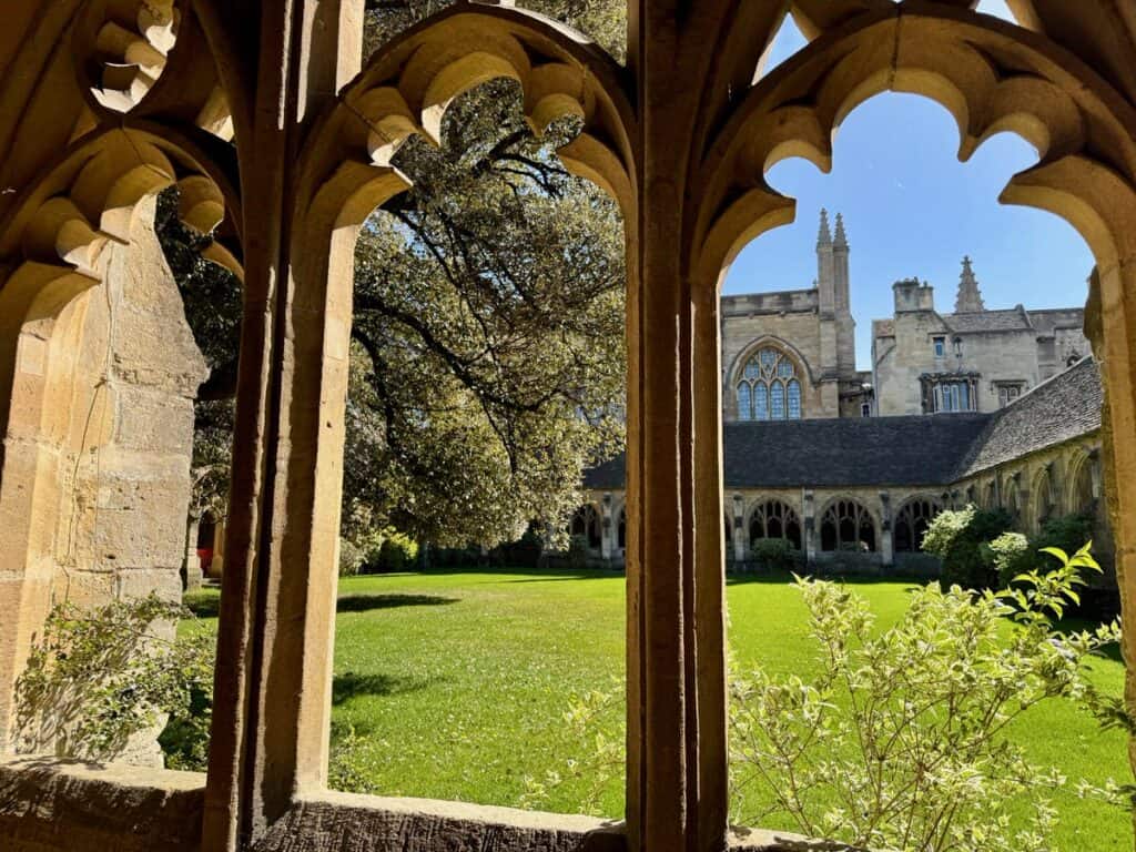
Side quests: I spent a couple hours after breakfast exploring more of Oxford, mostly visiting literary sites like The Eagle and Child pub which is currently . . . and finally under major renovations with an actual reopening plan. I wandered past the Ashmolean, grabbed a flat white in the Covered Market, and poked my head inside New College.
Once I arrived in Abingdon, I spent a little time exploring the abbey grounds and town center.
- Lunch: Sainsbury’s picnic
- Stay: Cosener’s House (actually located on the old abbey grounds.)
- Dinner: Pizza Express takeaway
Day Six: Abingdon to Springs Resort and Golf Course, North Stoke
- Path Mileage: 15.4
- Actual mileage: 17.56
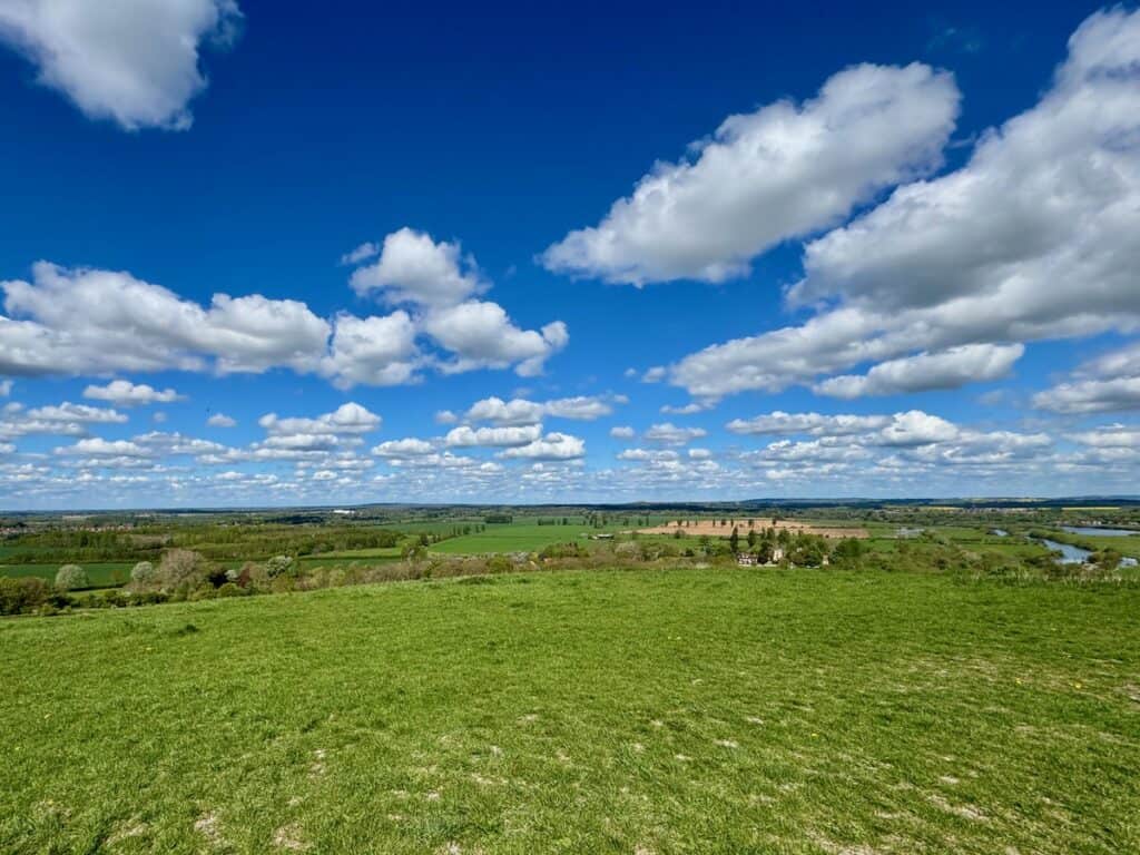
This was an unexpectedly interesting portion of the trail for me. After days of walking right next to the river, suddenly there were hills on the horizon. This is Goring Gap, where the river Thames chiseled its way through chalk hills. Both the change of scenery and use of different legs muscles were much appreciated! . However, adding a hike up the Wittenham Clumps, made this my heaviest mileage day to date!
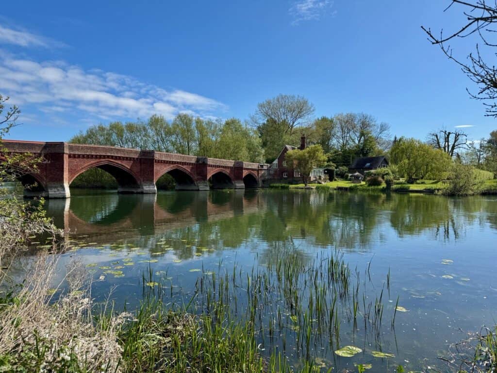
Route Diversions: Because I opt to see the Wittenham Hills on the lower side of the Thames, I used the public bridle way which runs parallel with the river for a couple miles to reconnect with the Thames Path at Shillingford Bridge. Upon leaving Wallingford, I crossed the Thames on the Nosworthy Mamun Bridge then connected with the Ridgeway Trail on the south side of the road.
Highlights: Collecting stamps in my Walk the Thames passport often got me into places I would have walked right by without a second look. I ducked into an extremely quiet Shillingford Bridge Hotel for lunch and was greeted by so many lovely, helpful people.
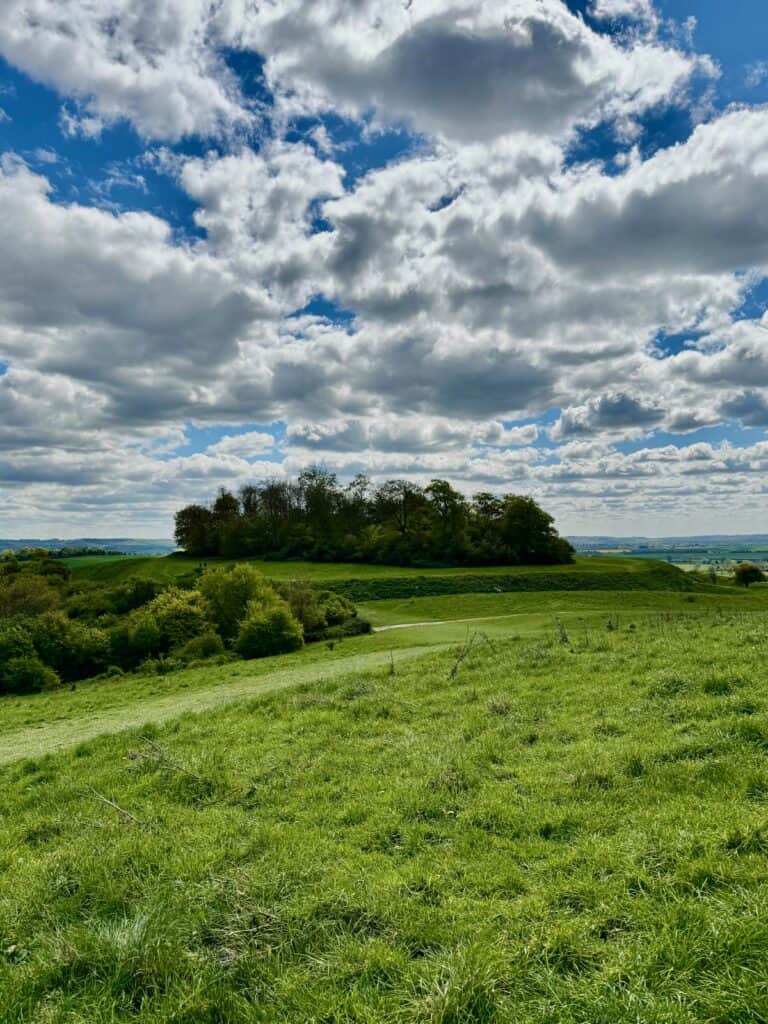

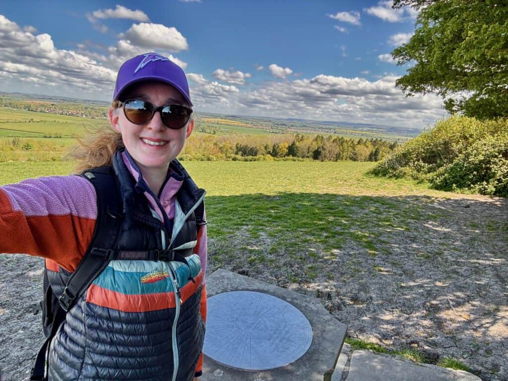
Side quests: Around mile 8 of today’s hike I had to choose from turning into Wittenham Hills Nature Reserve or heading into Dorchester to visit their uniquely well preserved abbey. (Most UK abbeys were decimated during the Reformation.) I chose the “Wittenham Clumps,” as they’re known, and enjoy a stunning 360 view of the Thames River Valley. I also visited an Iron Age hill fort in the nature reserve.
Right before entering Wallingford, I veered off into the Castle Meadows to see the Wallingford Castle remains. This is one of William the Conqueror’s many Thames River castles; others include Windsor and the Tower of London.
- Lunch: Shillingford Bridge Hotel
- Stay: Springs Resort and Golf Course
- Dinner: Picnic lunch
Day Seven: North Stoke – Reading
- Path Mileage: 15.7
- Actual Mileage: 17.55
Today’s hike was an interesting mix of “pinch me, am I in a storybook?” moments and frustration about needing to take a couple long, not particularly well signed diversions through residential areas. (Overall, the path is very well signed, which just made it that much more frustrating.)
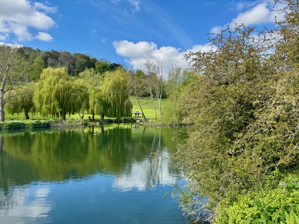
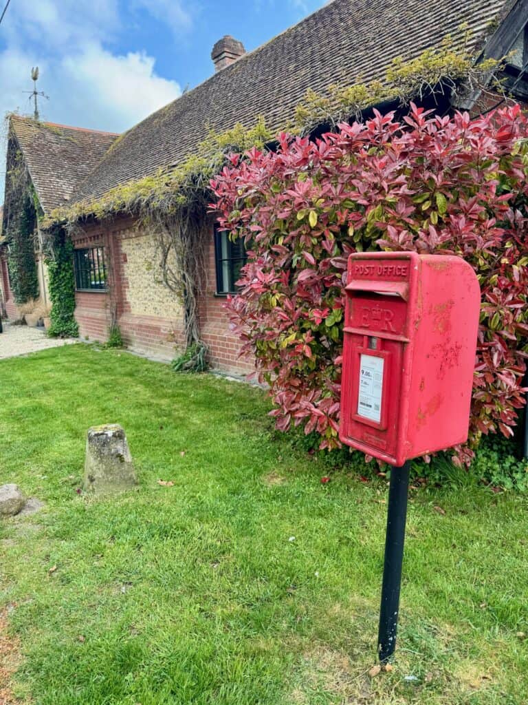
The very first village I walked through, North Stoke, looked like it was auditioning for “quaint English village” in the next American/British rom/com. With all the flowering trees and scrubs in bloom, the idyllic vibes continued for most the day’s hike. In South Stoke I even saw a roof being thatched!
As you approach Reading, the trail gets quite dull and it’s a bit of shock to find yourself in a busy urban center after a week of self-propelling yourself through the countryside!
Route diversions: I continued on the Ridgeway Trail on the upper side of the Thames until reconnecting with the Thames Path in Goring. There was also an option to cut off about 1.25 miles off of the day’s mileage by continuing on the upper bank for the entire day’s hike, but I didn’t want to miss the views of Hardwick and Mapledurham Estates.
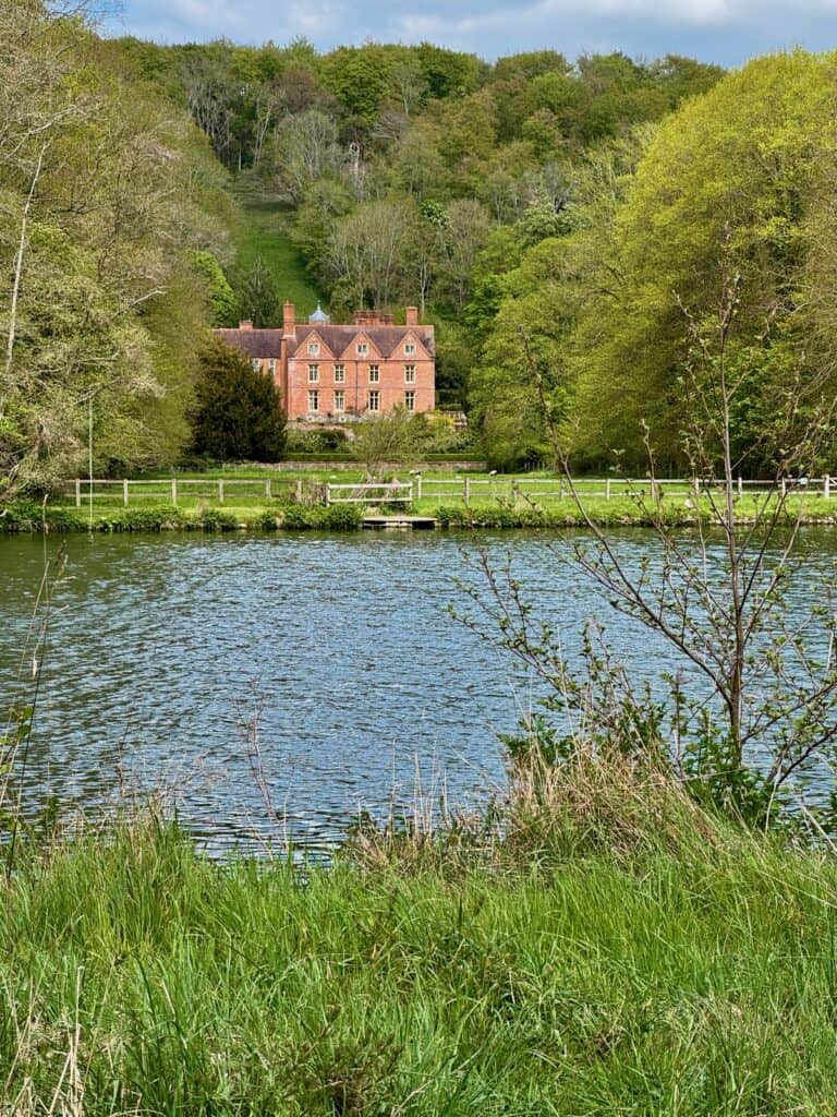
Highlights: I had an excellent chicken Caesar sandwich at the Pangbourne Café which was such a cozy, local spot. Although I don’t think I’ve read Wind in the Willows since I before I could actually read, I loved walking through Pangbourne Meadows and seeing the two estates – Hardwick and Mapledurham – which claim to be E.H. Shepard’s inspiration for his illustrations of Toad Hall. Wind in the Willows author Kenneth Grahame lived in Pangbourne at the end of his life.
You also move through Goring Gap, which you actually go up and down several hills. It was a treat to see the Thames from a slightly higher elevation.
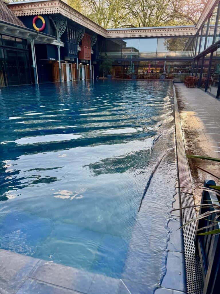
Side quests: I had hoped to use the pool at Springs Resort the night before, but the spa area was closed, so I decided to see if there were any public pools I could use in Reading. I’m so glad I did! I ended up booking a couple hours at the Thames Lido. A few Nordic cycles and a little soak in the hot tub was the perfect way to close out a long walk.
- Lunch: The Pangbourne Café
- Stay: 1843 Reading Hotel
- Dinner: London Street Brasserie
Helpful Planning Information for the Thames Path First Half
Points of Interest From Thames Source – Reading
The Source of the Thames – Although there’s rarely any water here (many people blame the failed Thames/Severn canal for this), there is a very difficult to read plaque as well as the first Thames Path National Trail sign posts.
Cricklade – First village on the Thames. At the river’s 12-mile mark, Cricklade is probably where you’ll stop after your first night of hiking, but don’t be tricked into thinking that this little village with excellent pubs, restaurants, and a fascinating church is an example of the amenities you expect each night. Stock up on any necessary supplies now; your next opportunity for groceries or pharmacy items if you’re not spending your next night in Lechlade is in Oxford.
Pillboxes – Starting after St. John’s Locks, you’ll start to see small concrete fortifications which were constructed as part of Britain’s World War II defenses.
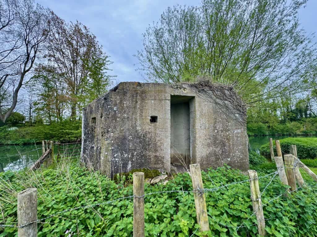
Kelmscott – William Morris’s Thames estate, Kelmscott Manor, is located into this beautiful little hamnet. It can be tricky to time it so you can tour the estate as you likely won’t want to wait to start your day’s walk until after they open, but if you can wait, I think it would be well worth it. The nearby Plough Inn was my favorite place I stayed, so if you’re able to take your time on the hike, maybe plan two nights here?
The Trout at Godstow Bridge and Godstow Abbey – If you’re a Philip Pullman (His Dark Materials/Book of Dust) you’ll definitely want to stop at these two historic spots. Even if you’re not, these are still two very interesting stops.
Port Meadow – This meadow has never been plowed and there have been legal provisions in place for livestock to graze the fields freely since at least the 12th century. Expect to see cows and horses drinking right from the Thames.
Oxford – Obviously the university town is a huge draw on the first half of the hike. Church of St. Mary the Virgin, the Bodelian Library, Botanic Gardens; this city is charming and beautiful! Definitely plan a stopover day to explore if you can.
Abingdon – Another quaint English village with abbey remains, a couple excellent medieval churches, and lovely green spaces.
Wittenham Clumps – The first real hills along the Path, you’ll spy these two 400’ chalk hills from miles away. From the top, you get a spectacular panoramic view of the Thames River Valley. Bonus: You also get to see an Iron Age ring fort here!
Dorchester Abbey – One of the few English abbeys that Henry VIII kept his grubby paws off of! If you’re lucky, you’ll swing by on a day when they have their communal tea room open.
Wallingford Castle – There’s not much of the medieval castle that was Empress Matilda’s stronghold during the Anarchy of the 12th century, but the meadows and gardens are scenic and filled with blooms and wildlife.
Pangbourne Meadows – If it feels like you walking in a picture book, it’s because you kind of are. Kenneth Grahame, author of The Wind in the Willows, lived in Pangbourne at the end of his life and it’s where illustrator E.H. Shephard (of Winnie the Pooh fame) came to draw inspiration for his illustrations of Grahame’s classic children’s book. Two of the large river estates – Hardwick and Mapledurham – both claim to be Toad Hall.
Bridges – You pass several historic bridges on this section including the oldest bridge across the Thames in Radcot, the second oldest bridge in Newbridge (it’s only about 50 years older than Radcot), and the only two toll bridges on the Thames: Swinford and Whitchurch.
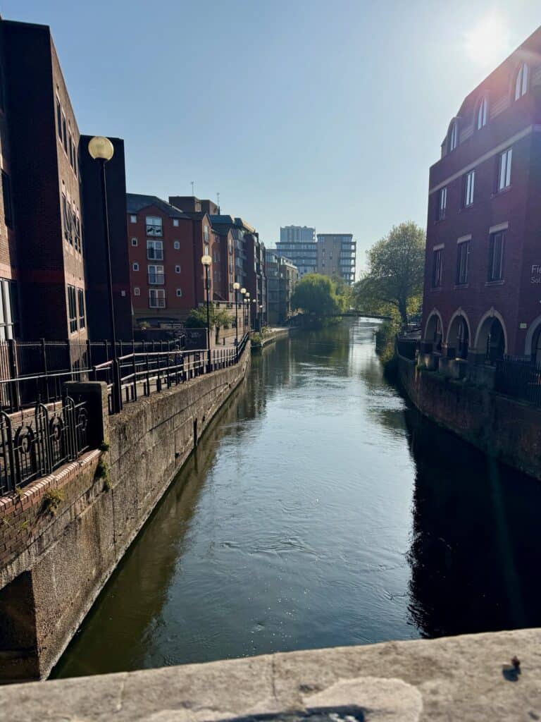
Reading – This large urban center of about 350,000 is the commercial center of the Thames River Valley, so you can find all your favorite UK chain stores here. Since the trail’s halfway point, it’s the perfect place to stock up on supplies. For sightseeing, check out the Reading Museum, if only for its Victorian replica of the Bayeux Tapestry. I also highly recommend the Thames Lido for a soak and sauna.
My Best Tips for Your Walk
Navigation
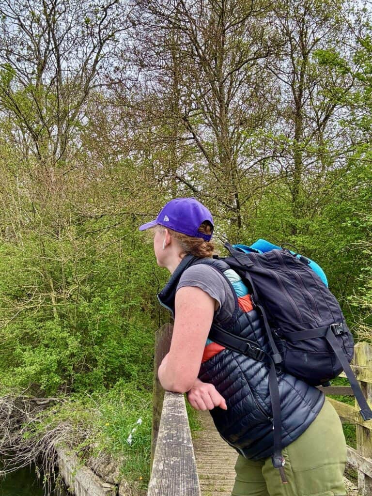
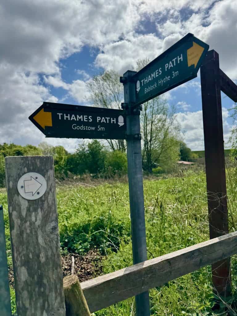
The Thames Path is quite well signed. You can expect either an official wooden sign post or a little plaque on a post any time you pass through a gate or need to make a turn. (You’ll become very adept at spotting the National Trail “acorn” symbol.)
No matter how tempting it seems, do not divert from the course you are walking unless you see a Thames Path sign or marker pointing you in a new direction. If you’re prone to second guessing, I recommend keeping a GPS track on. (I use Gaia.) The path occasionally goes straight through villages (like Ewen on the first day), cuts briefly on the side of busy roads, and even once passed through a boat repair yard near Oxford.
Prepare for a crash course on opening public right of way gates into farm fields! You will pass through dozens of these gates each day.
Stretch
Although generally considered the easiest of all the national trail, the Thames Path is a very gentle, but long hike. You still need to expect some wear and tear on your body. I recommend stretching both in the morning and before bed each day. I don’t mean a couple hamstring curls and toe touches. We’re talking 10-15 minute stretching sessions, especially at night.
Dry shoes
Don’t hike in damp footwear. Pack silica packs to stuff in your shoes overnight to help draw out moisture, especially in the toes and heels.
Blister prevention
If you feel hot spots on your feet, stop immediately and put on moleskin! Keep a spare pair of socks in your day pack. Have a real plan for blisters. Even wearing truly broken in shoes (I’d had my hiking boots for 10+ years and used them to do the 22-mile Lares Trek through Peru’s Andes), my feet revolted after day two.
Next time, in addition to the Dr. Scholl’s Blister packs and moleskin I packed, I’m bringing toe protectors, more bandaids, a bunch of kinesio tape, and gauze.
(I have a full Thames Path packing list coming soon!)
Hiking poles
Hiking poles definitely aren’t necessary on this flat, forgiving walk. However, if you aren’t using hiking poles, remember to either rest your hands lightly on your pack straps a few times an hour or mimic walking with poles from time to time.
If you just swing your hands at your hips like you normally do while walking, you will end your first 16-mile day with some disturbing edema in your hands! Ask me how I know . . . .
Bathrooms
The locks, which usually feature a small station and a lock-keeper’s house/office, sometimes provide access to fresh water and toilets. However, you will want to be comfortable peeing outside as you often go long stretches without access to toilets. I loved my pee cloth for this!
Take electrolytes
Don’t underestimate how taxing walking a half marathon every day for a week is! I randomly tossed a handful of electrolyte packets in my pack and drinking a Nalgene full of electrolytes at the end of each day’s walk really improved my overall wellbeing. Obviously it helped with hydration, but I also think it helped my muscles recover as well.
Luggage Transfer Company Options

Sure, you can carry everything you need for this hike on your back, but at its heart, the Thames Path wants to be a mild riverside ramble. The best way to keep things easy, breezy on the path is hire a company to transfer your bag between lodging each day. You can often book your lodging through these companies as well.
Walk the Thames – I used Walk the Thames and I highly recommend them. The Thames Path is their business and they were always available via email for trail condition updates and helpful reminders. I’d been getting their Thames Path newsletter for years so felt confident that they would take good care of me and they certainly did!
Other companies that transfer bags for Thames Path walkers include (but aren’t limited to):
Conclusion: Don’t Let Length or Logistics Hold You Back from the Thames Path
Walking the Thames Path had been on my list of travel dreams for decades, but I always let the length deter me from really figuring out the logistics of how to make this hike a reality.
If you’re drawn to the idea of hiking basically the entire length of the Thames River but don’t have 14-21 days to devote to this 184-mile walk, I hope I’ve given you some ideas on how to break up the hike in do-able stages.
You certainly don’t need to follow the exact source to Reading itinerary that I’ve outlined here, although my itinerary does neatly cut the trail into two even sections. Since the path is so accessible from London and Heathrow Airport, it’s always easy to rejoin the path whether you need to break the walk in half like I did or even more smaller stages.
My best advice is to work with a luggage transfer company and just start walking. Since the Thames Path is an easy, low impact hike filled with amenities and points of interest, it’s a very attainable challenge, so don’t let the mileage scare you! With the tips and itinerary suggestions I’ve included in this post, you’ll be set for success.
I was pretty nervous going into this adventure, but honestly, the The Thames Path was even more beautiful and rewarding than I was expecting. I can’t wait to get out to finish out the second half of the downstream hike from Reading to Woolwich!
 |
 |